High-resolution Cloud Analysis Information (HCAI)
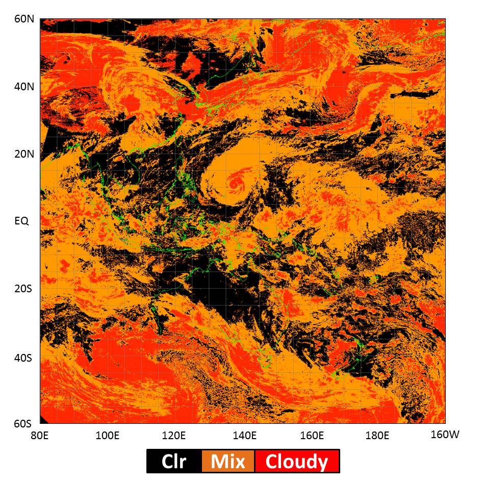
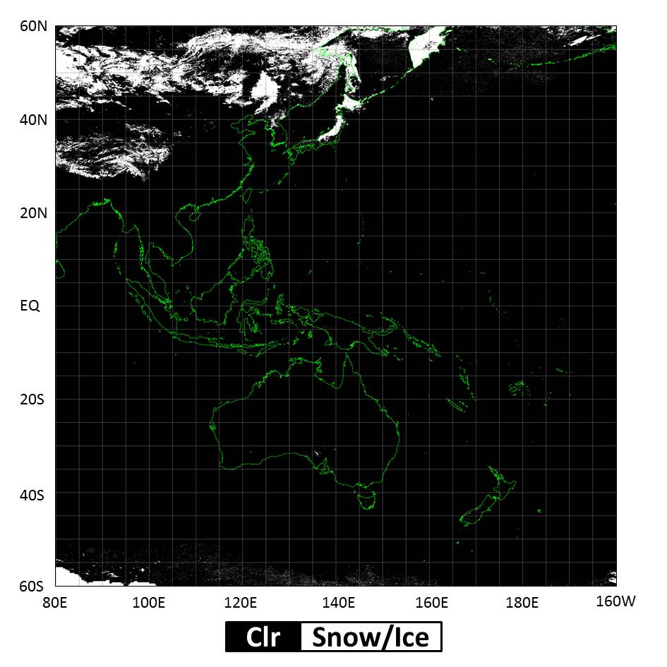
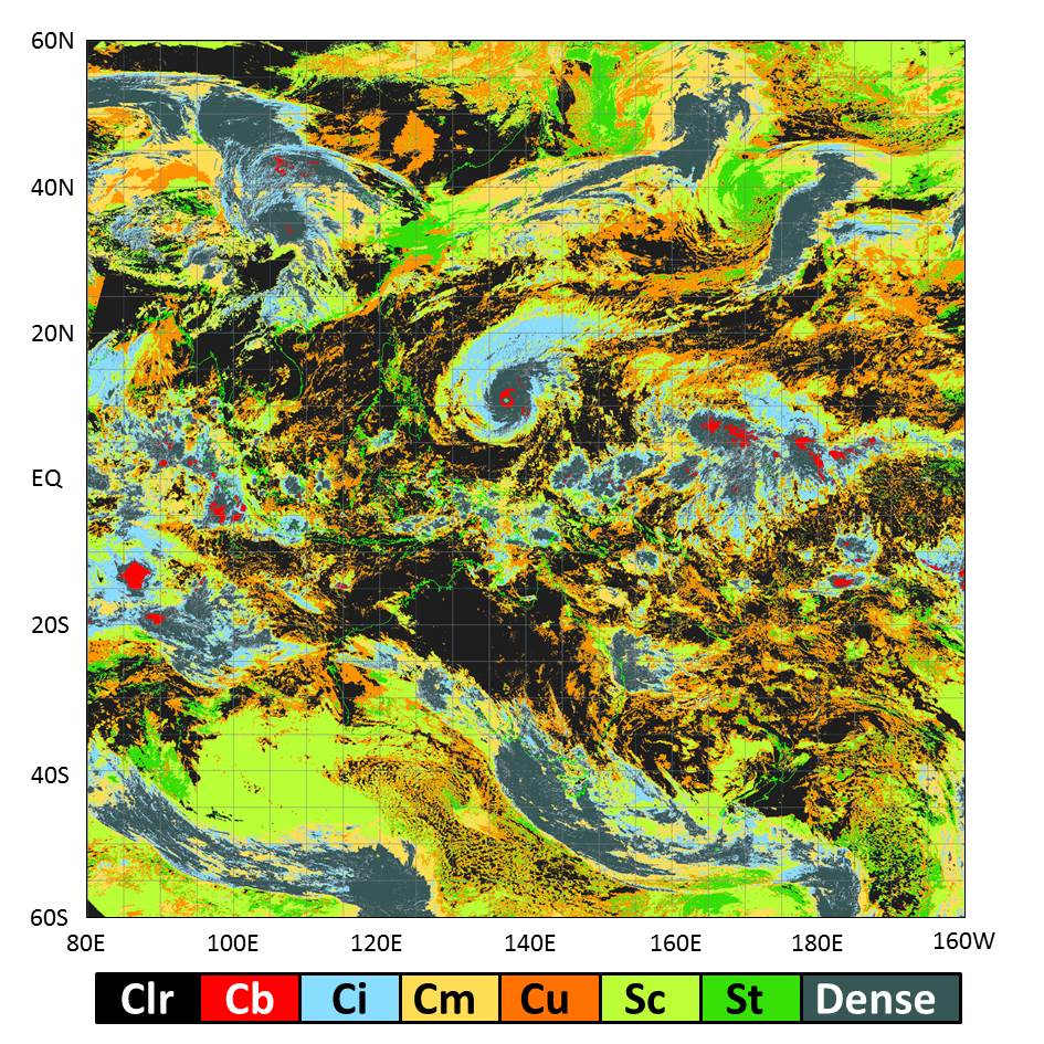
High-resolution Cloud Analysis Information (HCAI) provides data on five elements: cloud mask (including dust mask), snow and ice mask, height of cloud top, type of cloud, and quality check information (the effects of stray light, quality of cloud mask and other variables). These data are derived from Himawari-8/9 satellite imagery and cover the area from 60°N to 60°S and from 80°E to 160°W with a mesh of 0.02-degree squares. HCAI is used as objective resource for local and aviation forecast operations.
Reference
Meteorological Satellite Center Technical Note No.61
Sample
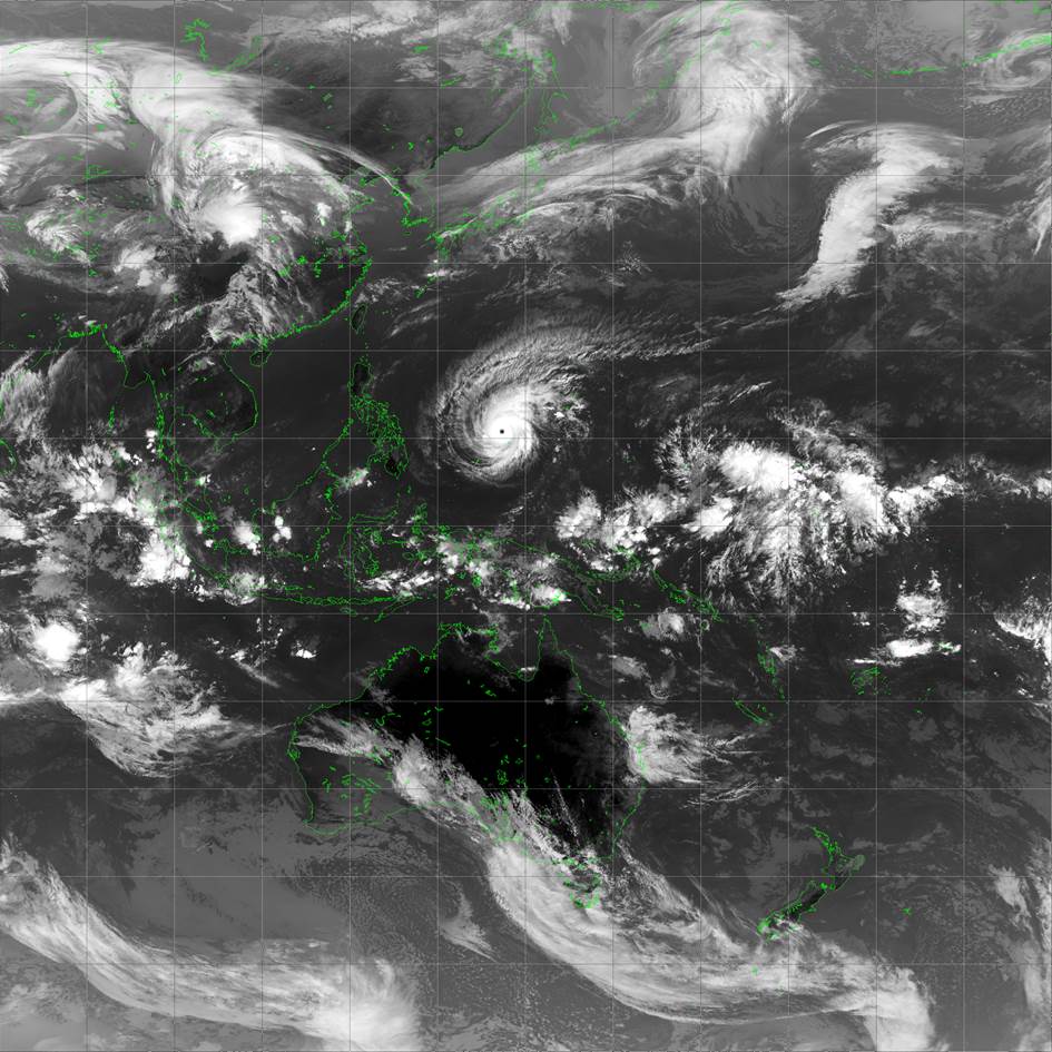
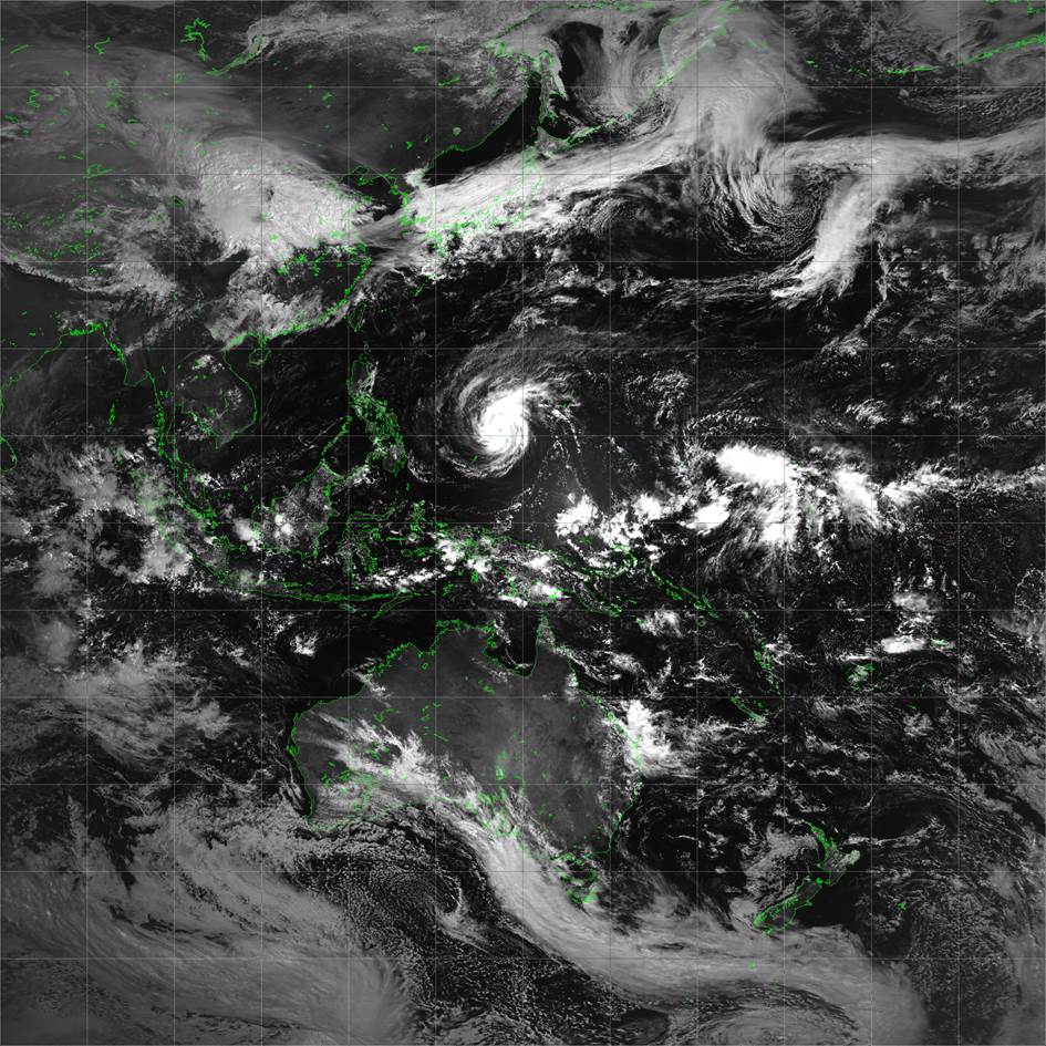
Sample below are HCAI at 02 UTC on 1 April 2015.

Reference: Himawari-8 imagery captured with the same timing as the above (02 UTC on April 1, 2015)
Real-time data distribution
HCAI is distributed via the JMA Data Dissemination System (JDDS) exclusively for National Meteorological and Hydrological Services (NMHSs).
Real-time monitoring can be accessed at
https://www.jma.go.jp/jma/jma-eng/jma-center/nowcasting/