Japan Meteorological Agency |
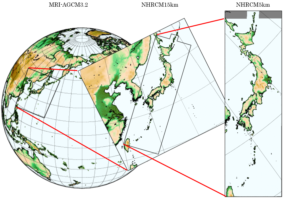
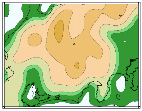
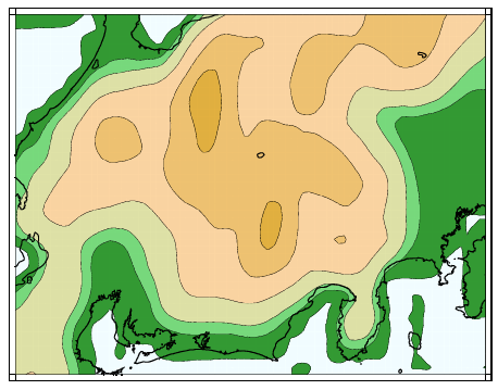
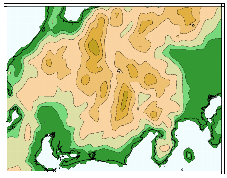
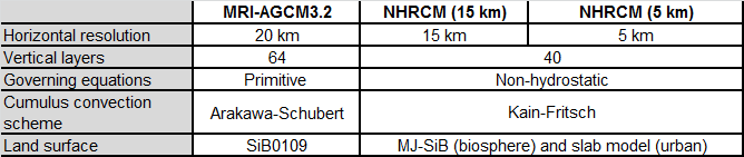
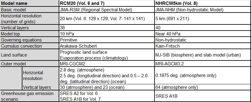
Future projections provided in GWPV8 are based on the results of numerical experiments using the NHRCM developed at MRI (Sasaki et al. 2011). The model was run at a horizontal resolution of 5 km for the Japan area, and to provide lateral boundary conditions the same model was run at a coarser resolution of 15 km. The 15-km run was in turn forced with boundary conditions from MRI-AGCM3.2 (Mizuta et al. 2012) run at a 20-km resolution based on the SRES A1B scenario. The model domains and experimental settings are shown in Fig. 1.1-1 and Table 1.1-1, respectively. Using this level of high resolution (5 km), which is expected to better reflect the effects of mountainous topography over the Japanese archipelago (Fig. 1.1-2), allows explicit analysis of extreme weather events (e.g., intense precipitation associated with topographically induced upwelling or cumulus convection). The differences in model specifications from those used for Global Warming Projection Vol. 6 (Japan Meteorological Agency 2005) and Vol. 7 (Japan Meteorological Agency 2008) are summarized in Table 1.1-2.
 |
| MRI-AGCM3.2 | NHRCM15km | NHRCM5km |
 |
 |
 |
 |
 |
1. Methodology << Previous page | Next page >> 1.2 Statistical method and region